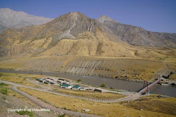
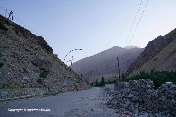
A winding road leads 700 m into the valley of the Panj River. Except for little construction sites, the road is in good condition.
We get on quickly and reach the bridge about the Panj River. The bridge is at the same time the border crossing to Afghanistan.
Again and again, we come across checkpoints in the country. It is not so clear on what purpose they fulfill. Originally, they were set up to prevent drug trafficking. Also in this area we see one, but filming is not allowed. This is where the Gorno-Badakhshan Autonomous Region begins.
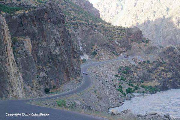
The mountains to the right and left of the valley meanwhile reach heights of up to 4500 m. There are only a few places on this earth, where you can observe the shaping of the earth’s surface by natural forces so clearly.
The mountain slopes are extremely steep, because the mountains still raise. As a result, there are constant rock sliding or mud and gravel slides through creeks.
You are currently viewing a placeholder content from YouTube. To access the actual content, click the button below. Please note that doing so will share data with third-party providers.
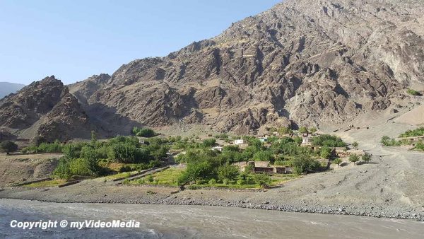
It is very difficult to settle here. Underneath the rocky walls one is threatened by the rockfall, and in the small valleys in between by gravel slides. The people live with very high risk here.
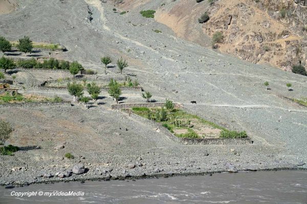
The small villages, especially on the Afghan side, are connected only by narrow roads, or paths. We have the impression that the people live very isolated in their villages.
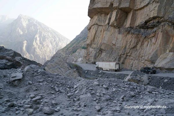
On the Tajik side, it is somewhat better. There exists at least a wide street, but also constantly endangered. Until one week before our arrival, a rock slide blocked the road for 4 weeks. The drivers had to take the northern route to Dushanbe.
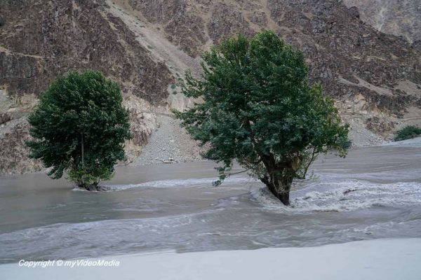
We can see how the Panj River changes from a thundering water and to a calm running water again and again.
By the time we see trees standing in the water, the process becomes clear to us. Gravel slides are washed through the creeks in the Pandj River, or rock falls hit the water.
In both cases, they form a small natural dam upstream. This, of course, bears the risk that the upstream villages may be flooded. If the water breaks through the small dam to quick, it floods the villages downstream.
Unfortunately, the road gets worse as we approach Kalaikhum. Broken-down trucks are part of the normal street. As a further means of transport there seem to be more donkeys than bicycles which is quite understandable. A donkey can also go uphill.
Upon arrival in Kalaikhum, we learn that some of the reserved rooms were already rented out. We are lucky and get another room in the town center.
From now on to the rest of the trip, we worry whether we can recharge all our battery packs until the next morning. We have 3 cameras, a laptop, a tablet and two mobile phones. Sometimes electricity is only available for one hour, or only from a battery connected to solar cells. Rarely there is a WiFi connection and sometimes there is no shower or only one with cold dripping water.
We don’t have a clear understanding of how people make their living here in the valleys. We learn that one part lives on government funds (authorities, police, border guards, etc.), the second part on trade (food, clothing, household appliances, etc.), and the third part on agriculture (primarily animal husbandry, but also a little agriculture). The fourth part goes after illegal business (drug smuggling, etc.).
But the magnificent landscape compensates us for all the shortcomings.
You are currently viewing a placeholder content from GetYourGuide. To access the actual content, click the button below. Please note that doing so will share data with third-party providers.